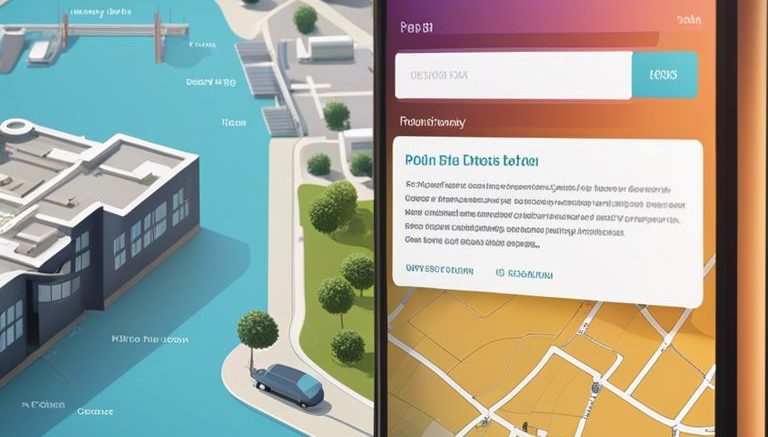
Boundaries are crucial elements when it comes to identifying property ownership and understanding land demarcations. ESRI mapping offers a powerful tool for individuals and organizations to precisely pinpoint property boundaries and access ownership information efficiently. By leveraging ESRI mapping technology, users can harness geographical data to visualize property boundaries, navigate land parcels, and explore detailed ownership information with accuracy and ease. This blog post will investigate into how ESRI mapping can empower users to locate property boundaries and ownership information effectively.
Understanding GIS and ESRI Mapping
What is GIS?
Any modern mapping technology relies on Geographic Information Systems (GIS) to capture, store, analyze, and manage spatial and geographic data. GIS allows us to understand patterns, relationships, and trends in data through dynamic visualization on maps.
How Does ESRI Enhance GIS Mapping?
To leverage the power of GIS, ESRI offers a comprehensive suite of mapping software and tools that enable users to create, edit, analyze, and share geographical information efficiently. ESRI’s software solutions, like ArcGIS, provide advanced capabilities for spatial analysis, data management, and visualization.
Plus, ESRI’s vast database of geospatial data, including satellite imagery, topographic maps, and demographic information, enhances the accuracy and detail of GIS mapping. By integrating ESRI’s mapping technologies, users can access up-to-date data and create interactive maps for various applications, from urban planning to property boundary identification.

Locating Property Boundaries with ESRI
Utilizing ESRI Tools for Boundary Mapping
The use of ESRI mapping tools can significantly aid in the accurate identification and mapping of property boundaries. These tools provide access to high-quality spatial data and analysis capabilities, allowing users to overlay property lines on satellite imagery or topographic maps for a clearer visualization of boundaries.
Advantages of ESRI Maps for Boundary Identification
One of the key advantages of using ESRI maps for boundary identification is the ability to integrate various data layers, such as parcel boundaries, land ownership information, and zoning regulations, into a single map. This comprehensive view can help users in better understanding property boundaries and their relation to surrounding areas.
Tools like ESRI ArcGIS Online also offer functionalities for measuring distances, buffering areas, and conducting spatial analysis, empowering users to perform in-depth assessments of property boundaries with ease and accuracy.
Accessing Ownership Information Through ESRI
Linking Property Boundaries to Ownership Data
Accessing ownership information through ESRI allows users to seamlessly link property boundaries to ownership data. By utilizing ESRI mapping technology, users can easily visualize and analyze property boundaries in relation to ownership information, making it simpler to understand the land ownership landscape.
Innovations in Ownership Data Management with ESRI
Accessing ownership information through ESRI introduces innovations in ownership data management. ESRI provides tools and features that enhance the efficiency and accuracy of managing ownership data. With ESRI, users can streamline tasks related to ownership data, such as updating ownership records, tracking property ownership changes, and accessing the most up-to-date ownership information.
Understanding the innovations in ownership data management with ESRI is necessary for maximizing the benefits of utilizing mapping technology for property boundary and ownership information. ESRI offers advanced capabilities for organizing and analyzing ownership data, empowering users to make informed decisions based on reliable and comprehensive information. By leveraging ESRI tools, users can optimize ownership data management processes and ensure data integrity for various mapping and land ownership projects.
Applications and Best Practices
Real Estate and Land Use Planning
To accurately navigate real estate transactions and land use planning decisions, ESRI mapping provides a powerful toolset. By incorporating property boundaries and ownership information into mapping software, professionals in the real estate industry can have a clear understanding of the physical and legal dimensions of a property. This data is crucial for conducting feasibility studies, assessing the impact of proposed developments, and ensuring compliance with zoning regulations.
Legal and Dispute Resolution
To resolve legal disputes involving property boundaries, ESRI mapping offers a reliable source of information to support legal claims and decisions. The ability to overlay property boundaries on high-resolution satellite imagery enables legal professionals to visually compare delineations, aiding in the resolution of complex boundary disputes. In litigation, presenting visual evidence derived from ESRI mapping can strengthen legal arguments and expedite the resolution process.
Best Practices
When utilizing ESRI mapping for legal matters and dispute resolution, it is necessary to ensure the accuracy and reliability of the data being presented. It is recommended to cross-reference ESRI mapping information with official property records and surveys to validate the boundaries and ownership details. Collaborating with surveyors and GIS professionals can enhance the credibility of the evidence presented in legal proceedings, ultimately facilitating a fair and efficient resolution of property disputes.
To wrap up
With this in mind, ESRI mapping technology provides a powerful tool for locating property boundaries and ownership information. By utilizing the vast geographic data gathered by ESRI, users can access detailed maps that accurately display property lines and ownership details. This information is crucial for various applications, including land surveying, property development, and real estate transactions. By harnessing the capabilities of ESRI mapping, individuals can save time and effort in researching property boundaries and ensure they have the most up-to-date information available. Overall, ESRI mapping proves to be an invaluable resource for anyone in need of precise and comprehensive property information.


Be the first to comment on "How Can ESRI Mapping Help You Locate Property Boundaries And Ownership Information?"