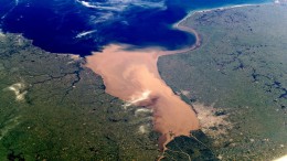
Harnessing The Power Of Satellite Imagery With ESRI Aerial Maps For Land Visualization
Over the years, advancements in technology have revolutionized the way we view and analyze geographical data. ESRI Aerial Maps, powered by satellite imagery, offer a…


