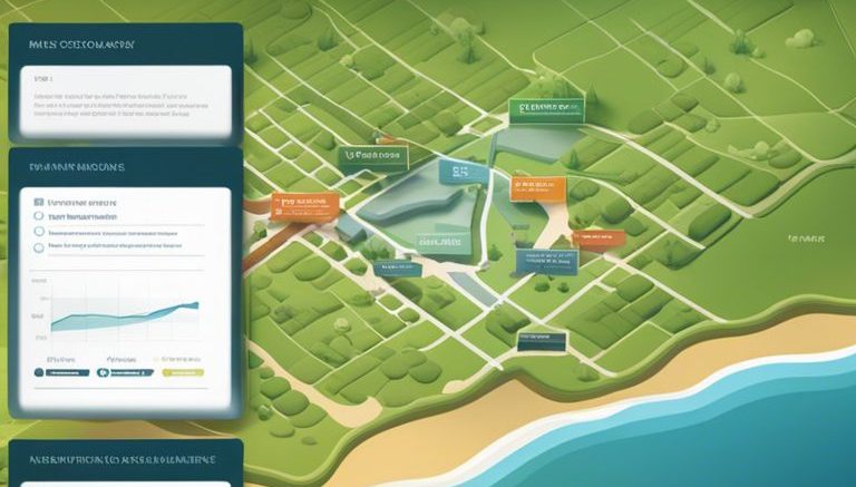
Over the years, Esri ArcGIS has become a powerful tool for professionals in the field of land mapping. From urban planners to environmental scientists, this advanced Geographic Information System (GIS) software offers a wide range of capabilities to improve mapping accuracy, efficiency, and visualization. In this blog post, we will explore how incorporating Esri ArcGIS into your land mapping systems can revolutionize the way you analyze, manage, and interpret spatial data.
Understanding Esri ArcGIS
Core Components of ArcGIS
Core components of ArcGIS include mapping, analysis, and data management tools that enable users to create, visualize, and analyze spatial information. These tools are designed to help users make informed decisions based on geographic data.
Integration with Existing Mapping Systems
One of the key strengths of Esri ArcGIS is its ability to seamlessly integrate with existing mapping systems. Whether you are using GIS software from a different provider or have your own proprietary mapping system, ArcGIS can integrate with a variety of data formats and systems to enhance your current mapping capabilities.
Understanding how ArcGIS can integrate with your existing mapping systems can help streamline your workflows, improve data accuracy, and provide a more comprehensive view of your geographic information. By leveraging the integration capabilities of ArcGIS, organizations can maximize the value of their existing mapping systems while benefiting from the advanced tools and features offered by Esri.
Enhancing Data Analysis with ArcGIS
Clearly, incorporating ArcGIS into your land mapping systems can significantly enhance your data analysis capabilities. By utilizing the advanced spatial analysis tools provided by ArcGIS, you can unlock the full potential of your land mapping data. To learn more about how ArcGIS can improve your land records management, you can refer to the ArcGIS for Land Records brochure.
Advanced Spatial Analysis Tools
- Data Visualization
Geoprocessing - Environmental Analysis
Network Analysis
Data analysis becomes more powerful through ArcGIS advanced spatial analysis tools. Visualization tools help in creating interactive maps that convey complex information in a user-friendly way. Geoprocessing tools enable automated spatial analysis tasks, saving time and ensuring accuracy. Environmental analysis tools aid in assessing the impact of land use changes on the environment, while network analysis tools help optimize transportation routes and service delivery.
Real-Time Data and Predictive Modeling
Analysis of real-time data and predictive modeling capabilities offered by ArcGIS can revolutionize your approach to land mapping. By integrating real-time sensor data with historical information, you can make informed decisions on resource management and emergency response. Predictive modeling tools allow you to forecast future land use patterns and identify potential risks, helping you plan and adapt proactively.
Another advantage of real-time data integration and predictive modeling is the ability to detect trends and anomalies promptly. By monitoring changes as they occur and predicting future developments, you can stay ahead of challenges and capitalize on emerging opportunities in land mapping and management.
Improving Decision-Making in Land Management
Application in Zoning and Planning
Zoning and planning are vital aspects of land management that rely heavily on spatial data and analysis. With Esri ArcGIS, urban planners and zoning officials can easily visualize land parcels, infrastructure, and zoning regulations in a comprehensive map view. This allows for more informed decision-making when it comes to designating land use zones, identifying areas for development, and regulating building codes.
Resource Allocation and Environmental Impact
Allocation of resources and assessing environmental impact are crucial components of sustainable land management. Esri ArcGIS provides tools to analyze resource distribution, plan for optimal resource utilization, and evaluate potential environmental impacts of development projects. By incorporating geographic information systems into decision-making processes, land managers can make data-driven decisions that prioritize conservation efforts and ensure sustainable land use practices.
The ability to analyze spatial data in real-time and collaborate with stakeholders through interactive maps enhances the decision-making process in land management. Esri ArcGIS offers a comprehensive platform that integrates various data sources and analytical tools, making it an invaluable asset for improving decision-making processes in zoning, planning, resource allocation, and environmental impact assessments.
Streamlining Workflow and Collaboration
Sharing Maps and Data with Stakeholders
To effectively collaborate with stakeholders in land mapping projects, Esri ArcGIS provides robust tools for sharing maps and data. With just a few clicks, users can securely share interactive maps, custom apps, and analysis results, allowing stakeholders to access real-time information and provide feedback. This streamlined communication process enhances decision-making and fosters better collaboration among project participants.
Cloud-Based Solutions for Remote Access
To ensure seamless access to mapping data from anywhere at any time, Esri ArcGIS offers cloud-based solutions that enable users to work on projects remotely. By leveraging the power of cloud computing, teams can access the latest maps, data, and analysis tools, collaborate in real-time, and make informed decisions regardless of their physical location. This flexibility and scalability streamline workflows and enhance productivity for land mapping projects.
It is crucial for organizations to adopt cloud-based solutions for remote access, especially in today’s fast-paced and interconnected work environment. With Esri ArcGIS, teams can efficiently collaborate, share information, and access critical data from any device with an internet connection. This cloud-based approach not only improves operational efficiency but also ensures that stakeholders have the most up-to-date information to make informed decisions.
Final Thoughts
The Future of Land Mapping with GIS Technology
Technology continues to advance at a rapid pace, and GIS technology is no exception. The future of land mapping with GIS technology holds endless possibilities for organizations looking to streamline their operations, improve decision-making, and enhance their overall efficiency. Embracing these advancements will enable organizations to stay ahead of the curve and maximize the potential of their land mapping systems.
Maximizing the Benefits of Esri ArcGIS in Your Organization
An vital aspect of maximizing the benefits of Esri ArcGIS in your organization is thorough training and ongoing support for users. This ensures that employees are equipped with the knowledge and skills needed to leverage the full power of ArcGIS for their land mapping needs. Additionally, regular updates and staying informed about new features and functionalities will position your organization to take full advantage of the latest tools and innovations offered by Esri.
Understanding the capabilities of Esri ArcGIS and how to effectively integrate them into your organization’s workflows is key to unlocking the full potential of this powerful mapping platform. By investing in proper training, support, and staying informed about updates, your organization can harness the power of ArcGIS to drive better decisions, improve efficiency, and achieve success in your land mapping endeavors.


Be the first to comment on "How Can Esri ArcGIS Improve Your Land Mapping Systems?"