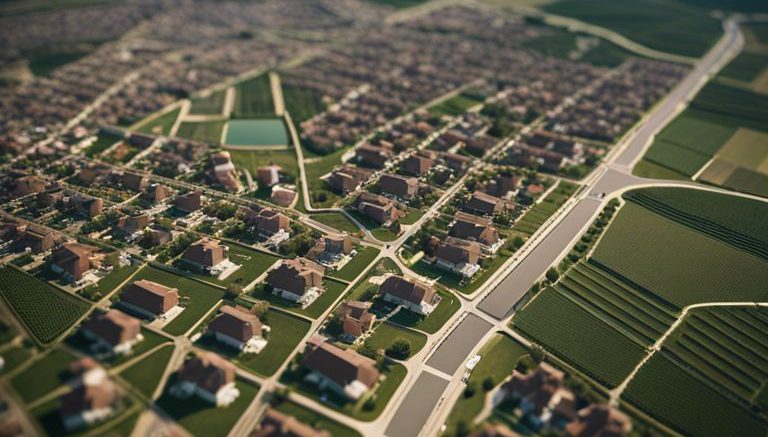
You may have noticed the different types of land use as you travel through cities and rural areas – residential neighborhoods, bustling commercial districts, industrial parks, and vast agricultural lands. Understanding these land use patterns is crucial for urban planning, environmental conservation, and economic development. With ESRI mapping technology, we can explore deeper into the intricate web of land use categories, analyzing spatial data to uncover insights that can shape our communities. This blog post will explore how ESRI mapping is revolutionizing our understanding of residential, commercial, industrial, and agricultural land use patterns, shedding light on the complex dynamics that define our built environment.
Fundamentals of Land Use Mapping
Defining Land Use Categories
The accurate mapping of land use patterns is imperative for urban planning, environmental monitoring, and resource management. The categorization of land use into distinct categories is critical for understanding the functionality and distribution of different areas. The four primary land use categories are residential, commercial, industrial, and agricultural.


Be the first to comment on "Understanding Land Use Patterns With ESRI Mapping – Residential, Commercial, Industrial, Agricultural"