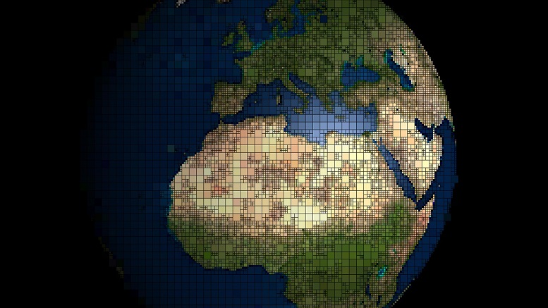
GIS allows us to view, understand, question, interpret, and visualize data in many ways that reveal relationships, patterns, and trends in the form of maps, globes, reports, and charts.
GIS consists of three components:
- Hardware-
Workstation-computer, screen and mouse
Scanner-to get legacy data in usable formats
Printers-print maps, charts and spreadsheets
GPS devices-collect and gather data characteristics - Software-
Esri ArcMap-predominately used suite of products
MapInfo-Collection of data from U.S. businesses and households, obtained from the census
GeoMedia-another form of GIS software, does not create shapefiles, creates databases
Trimble-software predominately used to collect GPS data on a devices and process an output into a given format for input into a GIS - Data-
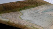
Surveys-traditional type of data collected based on spatial locations that gives defined measurements and locations based of other known points
GPS-data collected in field in raw format
Cad Files-AutoCad compiled files with a defined extent relative to Earth’s surface.
Raster-The raster data model represents features as a matrix of cells in continuous space
Vector-lines, point or polygon features representing something
Why use a GIS?
A GIS allows you to combine several formats of data to viewed and analyzed. It can integrate new and old data into one place to and use to make financial, planning and other business related decisions. It also allows you to share data throughout the company while providing a visual and spatial component to products and services provided in the company.
GIS is a problem solver, it can be used to models to predict varying types of data. For example GIS was used to show what would happen if a 10 foot, 20 foot or 30 foot storm surge were to hit the Galveston coast. Based on the information provided in the models the government can create emergency response plans and evacuation routes to avoid areas covered in water.
So what does a GIS do?
- Allows the user to process and display characteristics of a feature on the Earth’s surface with a geospatial context.
- Allows a user to analyze data in a variety of formats and answer questions about the data and problem solve.
- A GIS can create graphs, spreadsheets and database files to use in presentations or projects for easy viewing and analyzing.
- Allows for the visualization of non-spatial data as well for things such as pipeline diameter or population demographics such as ethnicity or income.
GIS can do all of this and much more in today’s advancing technological world so what are you waiting for?


Be the first to comment on "What is a GIS?"